A new web map allows us to explore and acknowledge the memory of the land of indigenous peoples around the world.
Property ownership data management is one of the primary applications for a geographic information system (GIS). My first GIS job with the East Bay Municipal Utility District in Oakland was to manage digitizing 350,000 property parcels within the EBMUD service area. When I came to King County GIS in 1998, I managed completion of a project to digitize 650,000 property parcels. That’s one million individual pieces of property, each with its own story. Where do those stories – the memories of the land – begin?
If you own your home or another piece of property you have ‘title’ to your land. Your title document proves your ownership and rights related to your property. How did your property come in to your possession? You likely paid some money to the previous owner and a conveyance document transferred ownership to you. The previous owner went through the same process when they first came into possession of what became your property.
But we know that the memory of the land…the memory of our little piece of land…has origins before there were title deeds and conveyance documents.
Chief Seattle wrote:
This we know, the earth does not belong to man; man belongs to earth. This we know. All things are connected like the blood which unites one family. So hold in your mind the memory on the land as it is when you take it. And, with all your strength, with all your mind, and with all your heart…
Where did our piece of the land come from? In many countries that originated as European colonies (including the United States, Canada, Mexico, and Australia) the ‘sovereign’ maintained the right of fee title to every square inch within the arbitrary borders that the sovereign (or his/her agents) drew on a map. This is just one example of the role of cartography in imperialism and exploitation. In the United States the Supreme Court (Johnson v. M’Intosh, 21 U.S. (8 Wheat.) 543 (1823)) decided that private citizens could not purchase land from Native American Tribes, because the Tribes did not own it.

In the United States, Indian Tribes only had rights of occupancy to their lands. And these rights of occupancy could be extinguished by treaties. If you open up your copy of Charles O. Paullin’s Atlas of the Historical Geography of the United States, you will find one map that depicts ‘Indian Tribes and Linguistic Stocks, 1650’. The Atlas also includes four maps of Indian Battles, four maps of Indian Reservations, and one map of Indian Missions.
What Paullin does not provide is a map to delineate the origin of your piece of property. Now a new map resource from Native Land Digital, a Canadian not-for-profit organization, has been launched to document the indigenous peoples origins of land for dozens of countries around the world.

The Native Lands Web Map allows the user to navigate the world to explore Native Lands origins by
- Territories
- Languages
- Treaties
As you navigate the map, it appears to be a crazy-quilt of overlapping or discontinuous boundaries. Not at all the type of display that GIS professionals and cadastral mappers would find satisfying. But the boundaries of territories and languages correspond to the best understanding within each indigenous peoples group. Now, if you turn off the Territories and Languages layers and turn on the Treaties layers, those of us who work in the traditional cartographic and GIS traditions will give a sigh of relief. Ahh – here are clear boundaries. You can COGO these boundary lines! Maps are clearly power.
Part of the value of the map is to show how the treaties (which enabled us to obtain title to our property) conflicted with traditional indigenous peoples occupancy and concepts related to their relationship with the land. The map includes links to information about individual indigenous peoples and treaties. The website also includes sections on the practice of Territory Acknowledgement and a useful Teachers Guide.
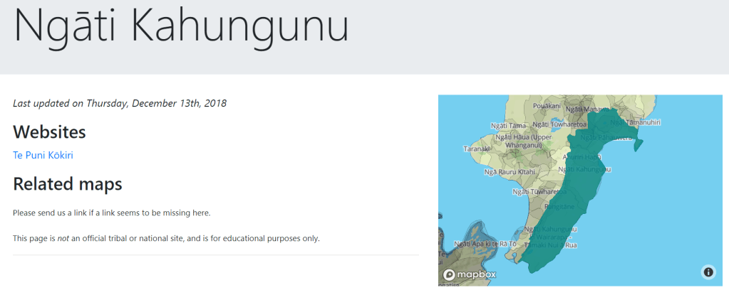
Take some time to explore indigenous peoples lands across the U.S. and Canada, as well as Latin America, Australia, New Zealand, and the Arctic fringes of Greenland and Europe. One area that I have experience with that is missing is Taiwan and its extensive indigenous communities.
Take some time to explore the Native Lands Map and think about ‘the memory of the land…’ …and the memory of your land.
Related article: “Land-grab universities: Expropriated Indigenous land is the foundation of the land-grant university system.”


