Lidar is an acronym for Light Detection And Ranging.
King County has acquired and maintained elevation data derived from lidar since 2002 in cooperation with the Puget Sound Lidar Consortium. Elevation products such as contours, watershed boundaries, and steep slope areas have been greatly improved in accuracy. New products such as tree canopy and built structures have been produced from surface and impervious data. 3D animations and physical models have been constructed from the terrain data.
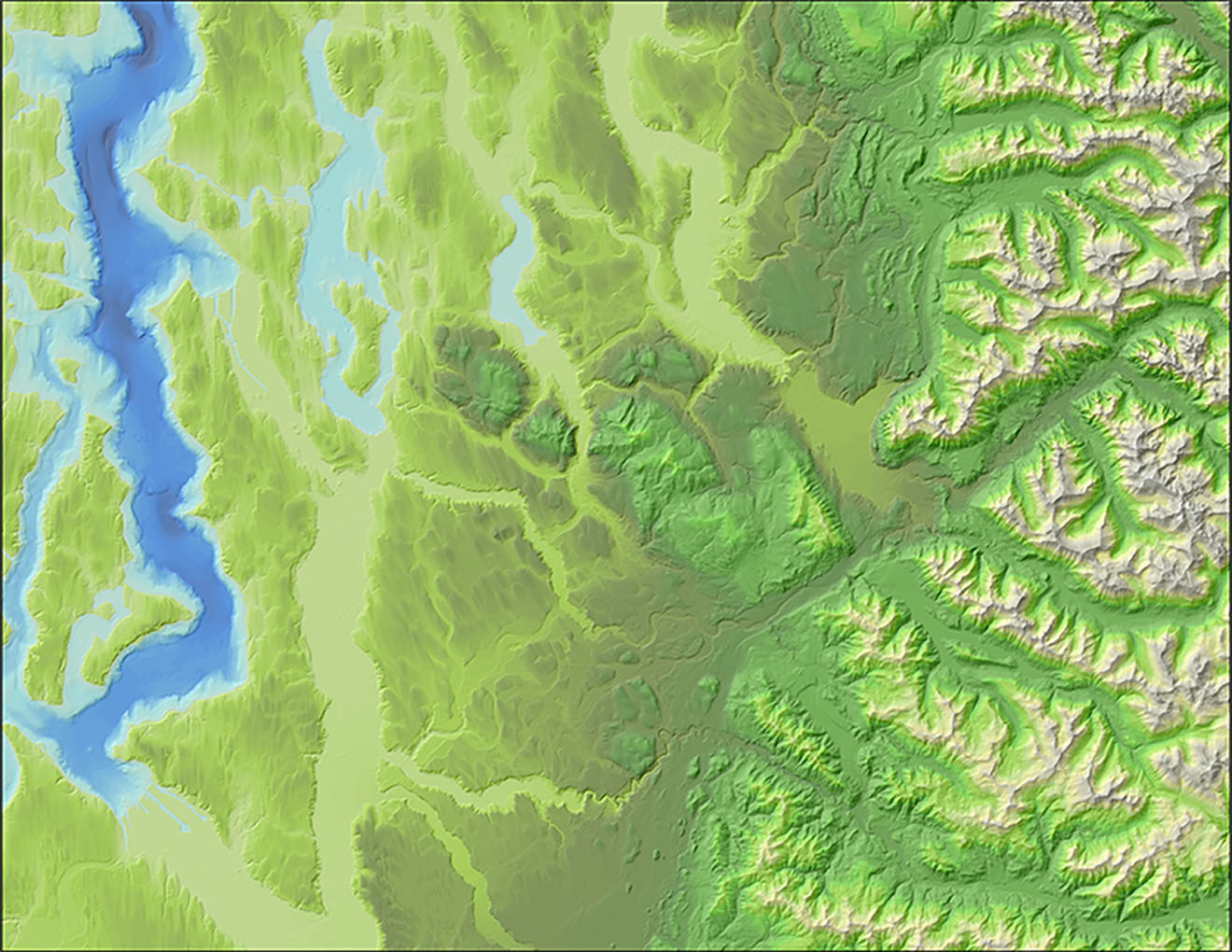
We have published a story map which presents what lidar is, the history of how King County organized the data, how it improved in quality over time, and lidar products created by the King County GIS Center. It’s a story for the interested novice in lidar and for present and future King County employees who need to know the history of how the data has been organized and the products that are available.


