How do you choose a cell phone service provider? This is a consumer decision that is driven by geography. Are you someone who just doesn’t travel a lot and looks forward to an annual stay-cation? Or do you have wanderlust and criss-cross the state and country as often as your budget and free time allows?
Where you plan to use your cell phone impacts which service provider you choose. We’ve all see the maps that show 4G network coverage. The geographic extent of reliable service is a key feature of a cell phone company’s marketing. Toothpaste companies promise us whiter teeth. Cell phone companies promise that you will be able to hear me, wherever I roam.
But are cell phone company coverage claims accurate? How are those maps generated? Have you ever discovered that you cell phone does not have 4G service in areas otherwise indicated by your carrier’s coverage map?
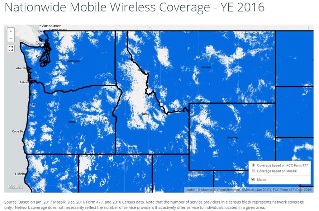
It turns out that current Federal Communication Commission (FCC) rules allow cell phone companies to claim coverage if their service can be accessed by a single user within a given census block. This data is submitted to the FCC via form 477. This may provide acceptably accurate spatial data for dense urban areas with compact census blocks, but for more sparsely populated suburban and rural areas this methodology likely overstates broadband coverage areas.
Recently S.1522 – Broadband Data Improvement Act of 2019 was introduced into the Senate – Commerce, Science, and Transportation Committee by Senators Capito, Schatz, Tester, and Moran. The stated purpose of this bipartisan bill is to ‘…improve broadband data collection, mapping, and validation to support the effective deployment of broadband services to all areas of the United States…’ Cool!
S.1522 would replace the FCC Form 477 broadband mapping methodology with one that requires propagation of a shapefile based on an empirical mathematical formulation of the quality of broadband coverage that can be mapped into a shapefile digital storage format for viewing, editing, and mapping within a GIS. S.1522 defines shapefile as a ‘…digital storage format containing geospatial of location-based data and attribute information…’ S.1522 would also enable the public to challenge service carriers claims of coverage, via an FCC public feedback process.
It is encouraging that this is a bi-partisan effort. It seems to be supported by FCC Commission Chair Ajit Pai in testimony to Congress. Is it enough though? There are actually opposing opinions. While NCTA-The Internet & Television Association supports S.1522 another group – USTelecom-The Broadband Association filed a letter with the FCC that criticizes the approach. Their letter discusses flaws in the mathematical formulation and mapping of coverage. USTelecom proposes a household survey of broadband service quality that would be more accurate.
A great resource for information about broadband coverage is the work of Connected Nation, a nonprofit, 501(c)3, that provides tools, resources, and methods to help local communities, states, and federal agencies create and implement solutions to their broadband (high-speed internet) and digital technology gap. Check out the Connected Nation Broadband Confidence Rating Map.
Bottom line, we could have a much better understanding in the future of what level of service to expect from our carrier. Whatever the outcome, hopefully in the future our teeth will be whiter and our cellphone calls clearer.


