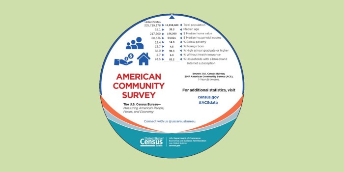
The American Community Survey (ACS) from the US Census Bureau helps local officials, community leaders, and businesses understand the changes taking place in their communities. It is the premier source for detailed population and housing information about our nation. ACS data is updated each year, not just during the decennial census.
Esri has just made ACS data easier to access and use through their Living Atlas of the World.

Living Atlas layers can be directly loaded into your ArcGIS Online or ArcGIS Pro map session through the Add Data tool. When ACS data is downloaded directly from the Census, lots of prep work is required before this information is ready to use in a GIS session. Esri has saved users hours of work by configuring these ACS layers for easy use and understanding. They have created both polygon and centroid versions, created user friendly aliases, calculated demographic percentages, and provided comprehensive pop-ups and documentation for these layers.
All a GIS user has to do is apply a filter to focus on their area of interest. Please see Esri’s Mapping American Community Survey (ACS) Data Just Got Easier blog post to learn more about using these feature layers and Make a Map About Your Community in 4 Easy Steps to learn how to quickly apply these layers to an ArcGIS Online map.


