Recently Ben Silver, GIS analyst and associate at BERK Consulting, developed an innovative story map to solicit public input for King County’s Shoreline Master Plan update. Story mapping is a web-based system in Esri’s ArcGIS Online platform that makes it possible to combine images, interactive maps, narrative text, and other multimedia content into engaging presentations that tell compelling stories. Ben tells the story behind the story map in this article submitted to GIS & You.
Hello! Let me introduce myself. I’m Ben Silver, a GIS Analyst and Associate at BERK Consulting, a local public policy consulting firm. BERK was recently hired to assist with the 2019 update to King County’s Shoreline Master Plan (SMP). This is a relatively small periodic update, designed to bring King County’s regulations in alignment with state regulations, yet it still requires public comment throughout the update process. In order to receive helpful feedback and comments, it is important to educate the public about the process and the proposed changes. In support of that effort, we developed a story map, “King County Shoreline Master Plan – Online Open House,” to facilitate broad community outreach and engagement.
When we began working with King County on this project, BERK saw story mapping as an excellent way to convey spatial information regarding the SMP project to the general public. One of the most interesting elements of building this “Online Open House” was combining different types of story maps to have cross-functionally between the various templates Esri provides. While the templates built into the Esri platform do have great, targeted uses, combining the types really allows story mapping to shine.
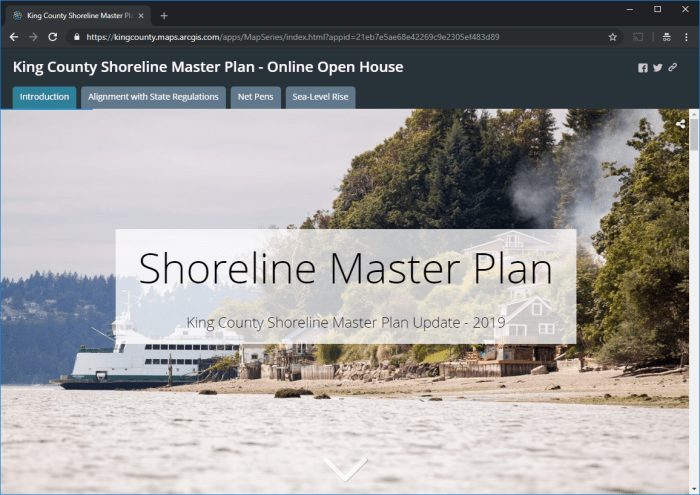
The shell of the project is a Map Series-template story map. Within each series tab, the designer can display Esri web maps, embedded web pages, images, and other content. For our application I built a Cascade-template story map to be embedded under each tab as a discrete web page. Cascade maps are an amazing base to build easy-to-digest, flowing content. The user simply scrolls down and the content keeps coming. You can embed interactive content and static maps, or combine static maps so they have an interactive feel (take a look at the Sea-Level Rise tab for an example of static maps presented in a series to feel more interactive). I personally love the Cascade story map template, and really enjoy having elements like embedded interactive maps and floating legends.
The possibilities with story maps are limited only by your imagination…and how far you want to push the Esri template. So while this map acts as one tool, it’s actually five different story maps and one web app all combined to function as one.
The story map is a standalone tool but we also broke it into its constituent parts and embedded them into a survey on the King County Connects platform to solicit public comment. Each Cascade story map is embedded into the survey page, then has a short section for comment below the respective map. Initially, we experimented with embedding Survey Monkey questions directly within the story map itself. I look forward to exploring that possibility more and testing the effectiveness of surveys embedded directly in the story map for future projects.
This was a great exercise in combining different parts of the Esri story mapping platform to make a more useful and versatile tool. Beyond the technical side of things, it was and continues to be a great exercise in public-private partnership, and BERK thoroughly enjoyed the opportunity to collaborate with King County.
View the story map here: https://arcg.is/GH91O.
Visit the following link for the project page: https://www.kingcounty.gov/services/environment/water-and-land/shorelines.aspx.
For more information about this project and about BERK Consulting, contact Ben Silver at Ben@berkconsulting.com.


King County’s beauty is no doubt characterized by its bounty of water bodies. King County has nearly 2,000 miles of shoreline along major lakes and rivers and Vashon-Maury Island. These shorelines provide habitat for fish and wildlife, places for public enjoyment and space for wide-ranging waterfront land uses.
LikeLike