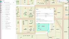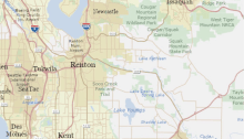
A New King County iMap is Coming!

King County GIS Center announces the soft launch of the new King County iMap application, allowing users to explore its features before the legacy version is retired. The modernized iMap, built on a cloud platform, offers enhanced usability, accessibility, and mapping capabilities, while retaining familiar functionalities. Feedback is encouraged during this transition.

How GIS helps King County Elections track ballot drop boxes

The King County Department of Elections conducts all elections by paper ballot, which a voter either mails or deposits into one of nearly 70 drop boxes that are distributed throughout the county. For its secure tracking of drop-box collections, Elections transitioned in the spring of 2019 to an all-digital workflow using mostly Esri GIS products. The all-digital aspect is notable in part because this is not yet common practice among elections agencies.