Sixty-five miles north of the King County GIS Center there is another highly effective county-based GIS operation. Skagit County Geographic Information Services (SCGIS), located in beautiful Mount Vernon, was recently featured in the March/April issue of Insight magazine, a publication of Professional & Technical Employees Local 17. The article looks into the history and growth of SCGIS and the makeup of its current ten-member team.
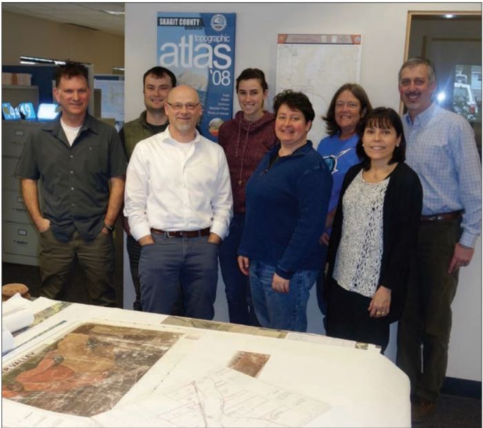
The Skagit County GIS team
(photo courtesy of PTE Local 17)
SCGIS provides a wide array of products and services, including a free county road atlas, a county topographic atlas, and a map gallery with many popular and useful maps for purchase or download. Skagit County iMap (what a great name!) provides county employees, citizens, businesses, and visitors with a valuable interactive web mapping platform to search and explore many key spatial datasets for the county.
SCGIS also maintains a public data warehouse which allows anyone to download much of their collection of digital spatial data free of charge. One interesting service of SCGIS is maintaining links to the Skagit County Global Positioning System (GPS) Reference Stations. This service allows those who need to differentially correct their GPS data to use Skagit County’s two GPS base station files.
While you explore the data and services that SCGIS has to offer, the Insights article provides a personal connection to the staff of ten GIS professionals who make it all possible for the citizens of Skagit County, Washington.
Greg Babinski is KCGIS Center Marketing and Business Development Manager.


