In October I had the opportunity to attend the Urban and Regional Information Systems Association (URISA) annual GIS-Pro Conference in Portland Maine. The GIS-Pro conference provided the opportunity to engage with GIS professionals from around the country and world, in workshops, presentations, and informal conversations. A highlight of the conference was URISA’s official announcement of its rebranding as the Geospatial Professional Network (GPN) during the opening session. On a more personal level, another highlight was the Awards Celebration where I had the honor of accepting the URISA Exemplary Systems in GIS (ESIG) Awards Enterprise System Category Distinguished System award for King County State of GIS (SOGIS), representing the King County GIS Center, and the fantastically talented SOGIS team.

With nearly twenty county agencies using GIS data and applications, administering King County’s GIS system requires a lot of communication and coordination by the King County GIS Center. For many years, the annual King County GIS Operations and Maintenance (O&M) Plan report was the primary method of documenting GIS scope and participation across King County agencies. However, compiling this report was labor intensive, time consuming, and cumbersome. The SOGIS team was assembled to address these pain points and provide an engaging alternative based on current technology.
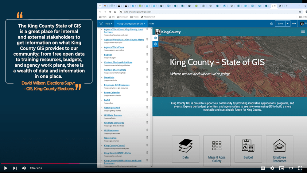
King County GIS chose to implement SOGIS using the Esri ArcGIS Hub as the platform. The ArcGIS Hub platform provides easy administration and role-based access privileges allowing site admins to easily manage access to content. In the first week after the launch of the State of GIS website, the GIS Center received multiple reports from users that the site was easy to navigate, and they could now find the information needed in one place. Preparation of agency work plans on SOGIS is more engaging and has reduced the effort of preparing chapters for the Operations and Maintenance Report by dozens of hours.
The KCGIS Center Team is thrilled with the results achieved with the features implemented so far. Many promising features remain on our backlog of features and the use of agile development tools and practices will accommodate the changing needs of the King County GIS user community.

Paul McCombs is a Principal IT Engineer for King County GIS Center, with 30 years of experience. Paul provides GIS expertise and leadership for the King County DLS Permitting division, King County Regional Planning Office, State of GIS and Best Practices for GIS editing and analysis workflows. He is the data steward for dozens of GIS layers in the King County Spatial Data Warehouse. Paul is a founding member of Puget Sound QGIS User Group, co-organizer of OpenStreetMap (OSM) Seattle and has a B.A. in Geography (GIS emphasis) from the University of Washington in Seattle.


