GIS & You readers know that I have written several articles in the past about using GIS for issues related to Equity and Social Justice (ESJ). A new article in Directions Magazine Insights on Location by Chris Wayne provides an excellent overview of Communities Using Maps to Enact Environmental Justice.
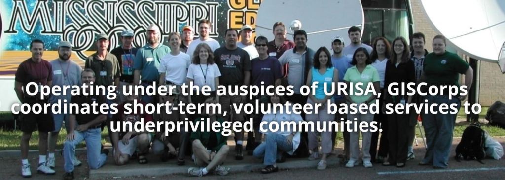
Chris Wayne’s article touches many aspects of using mapping and GIS for social justice issues. GIS users wanting to learn how they can get involved on a volunteer basis can learn from Chris’ discussion of participatory mapping, including URISA’s GISCorps, Humanitatrian OpenStreetMap, and others.
Chris explains the concept of scalability. Essentially, social justice related mapping concepts on the global or national levels can be scaled by qualified volunteers to the local level. Chris provides several compelling examples, including a State of California opportunity map to identify census tracts best suited for low-income housing projects, and a State of Washington environmental and health disparities map for all 1458 census tracts in the state.

Other examples cited by Chris include public health in Dortmund, Germany and voting rights for Native American tribes in North Dakota. I’ve long been interested in indigenous mapping in Canada and Taiwan. Chris provides excellent examples, including maps created by the Toledo Maya in Belize.
Chris concludes with an inspirational call to action. If you want to learn more about how you can apply your geospatial technology and data skills, read Chris’ article, get inspired, and then get involved.


