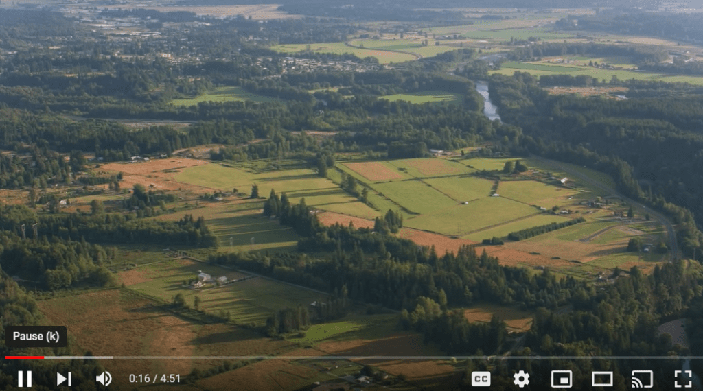
The King County GIS Center was honored to be awarded the 2024 URISA Exemplary Systems in Government: Single Process Distinguished System award for our new Aerial Imagery Program interactive web application. The GIS Center has been acquiring high-resolution aerial imagery since 1998 and administers a cost-sharing program to make imagery available to local jurisdictions, reducing the costs for everyone in the process.
Before the launch of this new application, managing each imagery order required manual coordination including multiple email chains, pdf documents, shapefiles, and spreadsheets. It was easy for things to get lost or steps to get missed, and jurisdictions were in the dark about the status of their orders. Now, the application provides a landing page with information about the program, the status of each biennial imagery acquisition, and cost-estimates that allow each jurisdiction to budget ahead. When the imagery is ready for delivery, jurisdictions can order directly from King County using a simple and transparent process. In addition, order management has been significantly streamlined and automated on the backend to reduce the administrative burden for King County staff. Even considering the time it took to develop the application, we estimate that this app has already saved over one hundred hours of staff time when compared to the 2021 project, and the time savings is expected to increase considerably in 2025.


Valerie Bright is a Senior GIS Imaging Engineer for the King County GIS Center with a background in geospatial analysis, data management, and hydrology. At King County, Valerie specializes in aerial imagery and raster data acquisition, data management and delivery, and raster analysis. Valerie enjoys building new solutions for old problems, streamlining processes, and helping users solve interesting problems.


