King County GIS Center is launching the new Districts and Development Conditions Report (also referred to in short as the Districts Report) application to the public and King County internal staff!
https://district-conditions-report.kingcounty.gov (new URL)
The new application replaces the existing application and provides improved accessibility, performance, and user experience. The content of the application remains the same but with enhanced features and information for you.
After a successful soft-launch of the application on June 20th, 2024, we will be transitioning our existing GIS apps links to the new application during the go-live period. All the links to the existing report will be redirected to the new version of the application. No action is required from you!
Enhanced Features and Performance
The new Districts Report is part of the effort to modernize existing applications and to remove technical debt. It now matches the design, look, and feel of the new kingcounty.gov website and offers improved accessibility and functional mobile device compatibility.
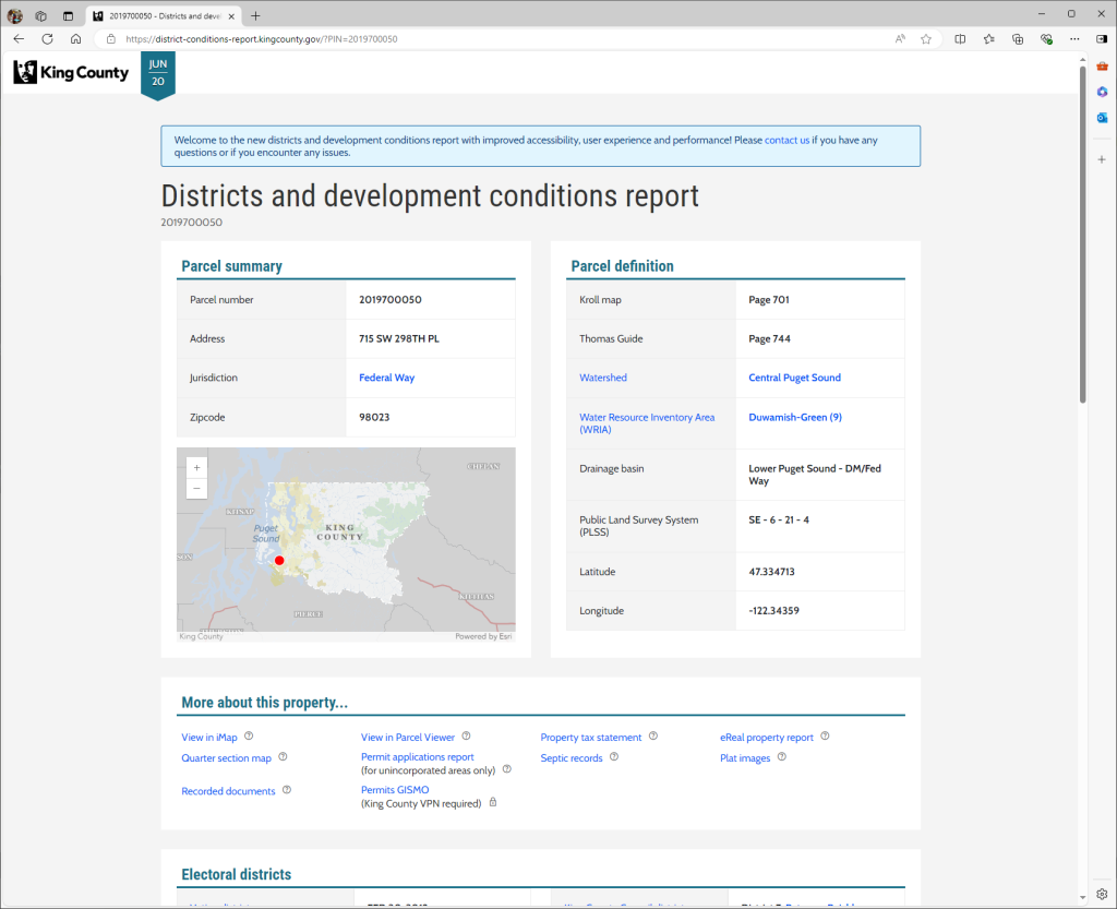
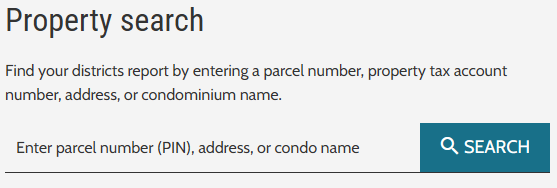
The new app loads faster and has significant performance improvements. It has an improved interactive map added to the report. It also provides an easy way to search for a parcel number, property tax account number, address, or condominium name.
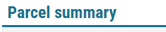
The report layout has a similar grouping of the data in sections with some minor name changes to the section titles. For example, “King County planning and critical areas designation” is renamed to “Planning and critical areas”. “Parcel summary” and “Parcel definition” sections are added.
The “More about this property…” section has useful related links to other very popular and important King County applications such as Parcel Viewer, eReal property report, recorded documents, and more. This highly used section is now moved further up in the report.
Throughout the report, informative definitions are added as needed in the form of tooltips (a small question mark in a circle).

Hover your mouse on these tooltips to find more information on a link or report entry. The report also provides links to other great resources like metadata, district home pages, zoning, sea level risk area, and more.
For more detailed information on this project, check out the technical development blog post here.
Please contact us (giscenter@kingcounty.gov) if you have thoughts, feedback, or questions.


